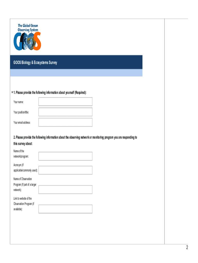
Table S3. Blank form of survey designed to obtain information on taxonomic, ecosystem, geographic and temporal coverage from globally distributed ocean observing programs. Survey was posted online.
Loading

Open form follow the instructions

Easily sign the form with your finger

Send filled & signed form or save
How to fill out the FR GOOS Biology & Ecosystems Survey online
This guide provides clear and supportive instructions for completing the FR GOOS Biology & Ecosystems Survey online. The survey seeks valuable insights regarding biological and ecosystem observations worldwide, and your participation is crucial for promoting effective global monitoring.
Follow the steps to successfully fill out the survey.
- Click ‘Get Form’ button to access the survey and open it for completion.
- Begin by providing your personal information, including your name, position or title, and email address. This information is required for the survey.
- Next, enter details about the observing network or monitoring program relevant to your survey response. This includes the name of the network or program, any acronyms used, and a link to the program’s website if available.
- Indicate the type of program you represent, such as government, science, conservation, or intergovernmental initiatives.
- Describe the reporting obligations of your program. You can select multiple options that apply to your program.
- If applicable, specify whether your observation network can be reported by a larger aggregator and provide any necessary details.
- State whether the collecting or observation methods used in your program are automated and offer any clarifying comments.
- Identify all sampling tools and approaches utilized in your program from the provided checklist.
- Outline the sampling design you employed, specifying any relevant criteria or arrangements.
- Document the geographic coverage of your observation network, including any specific coordinates or regions.
- Indicate the longest dimension of your observing network’s spatial extent.
- Provide the granularity of your sampling areas, detailing the number of distinct locations within the network.
- Answer questions regarding the time span of observations, including the first assessment year and whether observations are ongoing.
- Specify the temporal coverage or sampling frequency of your observations.
- Indicate the major systems covered by your program, such as coastal or deep-sea environments.
- Select the habitats sampled by your program from the available options.
- Detail the major taxonomic groups your program focuses on.
- For each major taxonomic group, indicate the key variables measured.
- Confirm whether the data is archived in a national data center or another repository.
- State if there is an associated international data standard for the key variables and provide links if applicable.
- Enter information regarding any data quality control processes your program implements.
- Specify if there are any data access restrictions that apply to your program.
- Indicate whether the data produced by your program is published online and provide links if applicable.
- Confirm if metadata is available online and include details if necessary.
- Specify whether your data is recorded in OBIS and detail any preferences regarding this.
- Indicate if your program is planning or willing to expand geographically or taxonomically.
- Provide suggestions on essential biological and ecosystem variables that should be measured for assessing change.
- Once all required fields are filled, ensure that your responses are saved. You will have options to download, print, or share the completed survey.
We encourage you to complete the FR GOOS Biology & Ecosystems Survey online to contribute to global marine observation efforts.
Experience a faster way to fill out and sign forms on the web. Access the most extensive library of templates available.
Get answers to your most pressing questions about US Legal Forms API.
What is the US integrated ocean observing system best described as?
The Integrated Ocean Observing System (IOOS®) is a national-regional partnership working to provide new tools and forecasts to improve safety, enhance the economy, and protect our environment.
What are three components of ocean observation systems that we use today?
Sea surface ocean observing systems Moored buoys. Drifter buoys. Spaceborne sensors. Unmanned surface vehicles.
What is the framework for ocean observations?
Ocean observing is complex but the Framework helps it to be looked at in a simple yet systematic way: Requirements in the Framework, which are driven by science and societal needs, are inputs. Observations, which adhere to Framework standards and are coordinated by GOOS, are the processes.
What are the ocean observing platforms that move with the currents?
Hurricane Gliders, Global Drifters, and Argo Floats Moving platforms are ideal for collecting data around the globe. Each instrument type has a unique contribution to the Global Ocean Observing System.
What is the ocean observing system technology?
The Global Ocean Observing System (GOOS) provides a glimpse of the present state of the oceans, including living resources, supports continuous forecasts of the future conditions of the sea, and furnishes the basis for climate change assessments and scenarios.
Use professional pre-built templates to fill in and sign documents online faster. Get access to thousands of forms.
If you believe that this page should be taken down, please follow our DMCA take down process here.