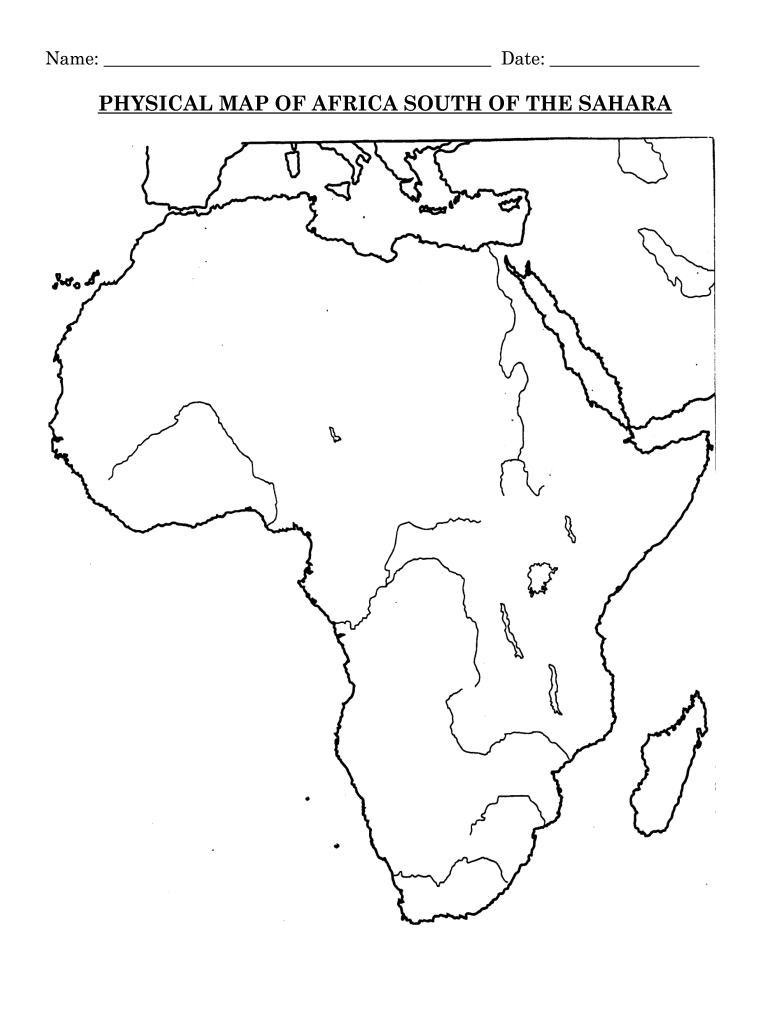
Name: Date: PHYSICAL MAP OF AFRICA SOUTH OF THE SAHARAOn your Physical Map of Africa South of the Sahara, please color and label (in pen or pencil) the following features. Use your textbook (page.
Loading

Open form follow the instructions

Easily sign the form with your finger

Send filled & signed form or save
How to fill out the Fillable Map Of Africa online
Filling out the Fillable Map Of Africa is a straightforward process that allows users to effectively color and label significant geographical features. This guide provides clear, step-by-step instructions to help users complete the map accurately and efficiently.
Follow the steps to complete your map online.
- Click ‘Get Form’ button to obtain the form and open it in the editor.
- Begin by identifying the bodies of water listed on the map. Use blue to color or trace the following: Atlantic Ocean, Mediterranean Sea, Indian Ocean, Red Sea, Gulf of Aden, and Mozambique Channel. When labeling these, abbreviate River as 'R' and Lake as 'L'.
- Proceed to label the rivers starting with Niger River, Nile River, White Nile River, Blue Nile River, Congo River, Zambezi River (remember to draw an orange star at Victoria Falls), Orange River, and Limpopo River. Use a blue pen or pencil to trace the rivers.
- Next, focus on the lakes. Color the following: Lake Chad, Lake Tana, Lake Turkana, Lake Victoria, Lake Tanganyika, and Lake Malawi. Label each lake appropriately.
- Now, address the mountains section. For Ethiopian Highlands and Drakensberg Range, color the area in brown and label it. For Mount Kilimanjaro and Mount Kenya, draw a brown triangle in the location and label them.
- Finally, turn to the other landforms. Color the Great Rift Valley in purple, the Congo Basin in green, and both Kalahari and Namib Deserts in yellow. Trace the edge of Horn of Africa and Cape of Good Hope in red.
- After filling out the entire map, review all labels and colors for accuracy and completeness. Once satisfied, save your changes, and you can download, print, or share the completed form as needed.
Start filling out your documents online today for a seamless experience.
Experience a faster way to fill out and sign forms on the web. Access the most extensive library of templates available.
Related content
Below are links to the hurricane tracking charts used at the National Hurricane Center...
Since its foundation, AWMC has been engaged in the creation of map content for use both in...
map. A function to map one value to another. map(key, test1, replace1 [,test2, replace2...
Get answers to your most pressing questions about US Legal Forms API.
Are there 57 countries in Africa?
All in all, there are 54 sovereign African countries and two disputed areas, namely Somaliland (autonomous region of Somalia) and Western Sahara (occupied by Morocco and claimed by the Polisario).
What are the 53 countries in Africa alphabetical order?
The 53 countries in alphabetical order are: Algeria, Angola, Benin, Botswana, Burkina Faso, Burundi, Cameroon, Cape Verde, Central African Republic, Chad, Comoros, Congo, Ivory Coast, Djibouti, Egypt, Equatorial Guinea, Eritrea, Ethiopia, Gabon, Gambia, Ghana, Guinea, Guinea-Bissau, Kenya, Lesotho, Liberia, Libya, ...
What is the 54th country in Africa?
On 27 July 2011, South Sudan became the 54th country to join the African Union.
Are there 55 or 54 countries in Africa?
Africa has 54 countries fully recognized by the United Nations, two independent states with limited or no recognition (Western Sahara and Somaliland), and several territories (mostly islands) controlled by non-African countries.
What is the name of the 54 country in Africa?
Countries in Africa: #CountrySubregion51ComorosEastern Africa52Cabo VerdeWestern Africa53Sao Tome & PrincipeMiddle Africa54SeychellesEastern Africa50 more rows
Why is Africa misrepresented on the map?
Because the earth is a sphere – more of a potato-shape, in fact – it is impossible to map it on a flat surface without errors in proportion, explains Kraak. Also the Peters projection has its flaws. In order to show the actual size of land masses, their shapes are distorted.
How many countries are there in Africa?
Ok a lot of people mistake Africa as a country in its own right. When in fact their are 54 countries and over 2000 languages. There are 2 additional states that are under dispute Western Sahara and Somaliland.
Is there 59 countries in Africa?
Africa consists of 59 countries with a total land area of 30 million km² (twelve million square miles), representing 20% of the Earth's habitable surface.
Use professional pre-built templates to fill in and sign documents online faster. Get access to thousands of forms.
If you believe that this page should be taken down, please follow our DMCA take down process here.