Loading

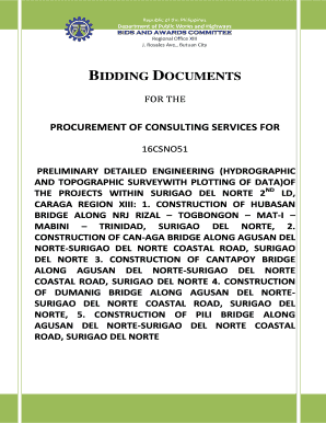
Get And Topographic Surveywith Plotting Of Data)of
How it works
-
Open form follow the instructions
-
Easily sign the form with your finger
-
Send filled & signed form or save
How to fill out the AND TOPOGRAPHIC SURVEY WITH PLOTTING OF DATA form online
Filling out the AND TOPOGRAPHIC SURVEY WITH PLOTTING OF DATA form is an essential step for individuals and organizations interested in participating in bidding for consulting services in engineering projects. This guide provides a clear, step-by-step approach to ensuring the form is completed accurately and efficiently.
Follow the steps to successfully fill out the form online.
- Click the ‘Get Form’ button to access the document and open it in an appropriate editor.
- Begin by entering your company or organization's name in the designated field, ensuring it matches your official registration documents.
- Provide the address of your principal place of business. This should be the same address associated with your registration.
- Indicate the project name related to the bidding opportunity. Ensure it matches the project as described in the bidding documents.
- Fill in the contact details of the authorized representative who will be responsible for communication regarding the bid.
- Detail your past relevant experience by listing completed projects similar in nature. Include descriptions that capture the scope and your role.
- Attach required eligibility documents such as registration certificates, business permits, and financial statements as specified.
- Review all entries for accuracy and completeness before submitting the form. This ensures you meet the eligibility criteria outlined.
- Save your changes and download a copy of the completed form as a reference. You may also choose to print or share it as needed.
Complete the AND TOPOGRAPHIC SURVEY WITH PLOTTING OF DATA form online to ensure a smooth bidding process!
The vertical distance between two points is called the difference in elevation , which is similar to what you have learned as the difference in height (see Section 5.0). The process of measuring differences in elevation is called levelling , and is a basic operation in topographical surveys.
Industry-leading security and compliance
US Legal Forms protects your data by complying with industry-specific security standards.
-
In businnes since 199725+ years providing professional legal documents.
-
Accredited businessGuarantees that a business meets BBB accreditation standards in the US and Canada.
-
Secured by BraintreeValidated Level 1 PCI DSS compliant payment gateway that accepts most major credit and debit card brands from across the globe.


